It is my hope that this collection of local weather information will be of interest and use to those of you who visit this site.

The site is work in progress and will be continuously improved over the next few weeks

As a Ham Radio Operator and the local reseller of Davis Instruments weather stations I took an interest in weather and currently upload my Home and Office Personal Weather Stations (PWS) to Weather Underground, APRS and my own Pointe-a-Pierre Memories site.

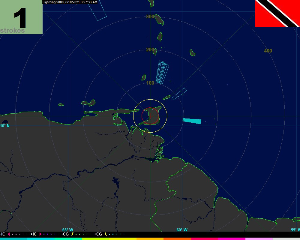
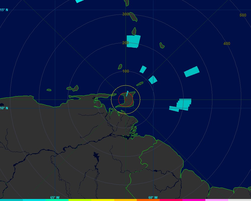
Trinidad's position just South of the "Hurricane Belt" puts us in a unique position as the storms that churn through at the lower lattitudes rumble past turning the corner off of our NE corner and often catch us with the "tail end". Good position to be in for storm tracking

Hope you enjoy the site

Best

Nigel - 9Z4CT
18/04/2015

Met Office
Barbados Lightning
Barbados Lightning
Atlantic Satellite
San Fernando

Blue Range
Plaisance Park
Trinidad PWS Map
Realtime Lightning
Threat Assessment
Grapefruit Crescent
Carenage
Woodbrook

Activity Graph
 
Strike Counter
Mount St. Benedict
Maraval
Longdenville
Tableland
Moriah, Tobago
Hurricane Imagery
Atlantic Satellite
Imagery

T&T Met Services
NOWcast Summary
NOAA Month
NOAA Year
Strike Summary
Atlantic Satellite
Atlantic ISOBAR Map